Bridgetown is the capital and largest city of Barbados. Formerly The Town of Saint Michael, the Greater Bridgetown area is located within the parish of Saint Michael. Bridgetown is sometimes locally referred to as “The City”, but the most common reference is simply “Town”.
The Bridgetown port, found along Carlisle Bay lies on the southwestern coast of the island. Parts of the Greater Bridgetown area sit close to the borders of the neighboring parishes Christ Church and St. James. The Grantley Adams International Airport for Barbados, is located 16 kilometers southeast of Bridgetown city centre, and has daily flights to major cities in the United Kingdom, United States, Canada and the Caribbean.
There is no longer a local municipal government, but it is a constituency of the national Parliament. During the short-lived 1950s-1960s Federation of the British West Indian Territories, Bridgetown was one of three capital cities within the region being considered to be the Federal capital of the region.
The present-day location of the city was established by English settlers in 1628; a previous settlement under the authority of Sir William Courten was at St. James Town. Bridgetown is a major West Indies tourist destination, and the city acts as an important financial, informatics, convention centre, and cruise ship port of call in the Caribbean region.
These amazing photos from The Caribbean Photo Archive that captured street scenes of Bridgetown in the late 19th and early 20th centuries.
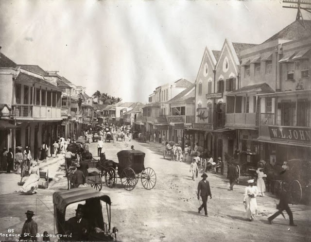 |
| Roebuck St, Bridgetown, Barbados |
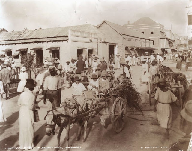 |
| A market street in Bridgetown, Barbados |
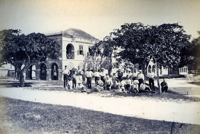 |
| Barracks, Bridgetown, Barbados |
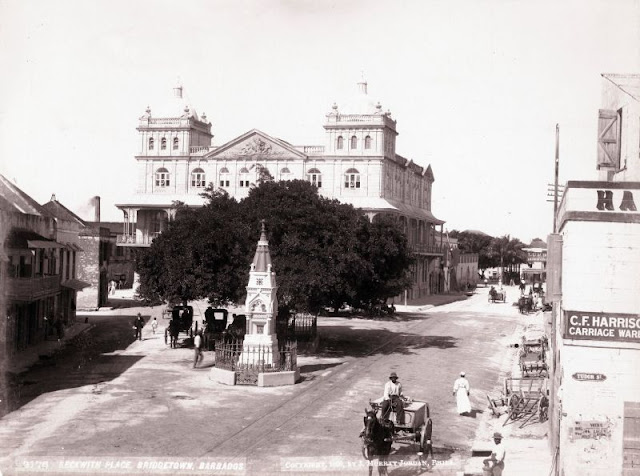 |
| Beckwith Place, Bridgetown, Barbados |
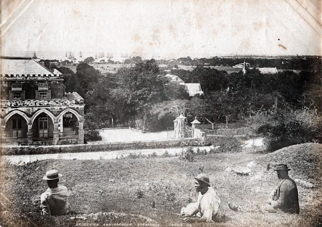 |
| Bridgetown and harbor, Barbados |
Leave a Reply