Ipswich is a historic county town in Suffolk, England. The town is located in East Anglia about 10 miles (16 km) away from the mouth of the River Orwell and the North Sea.
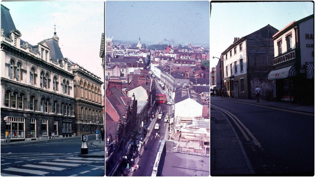
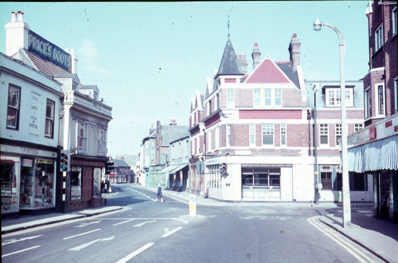
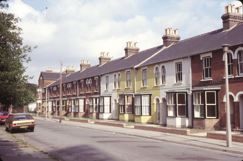
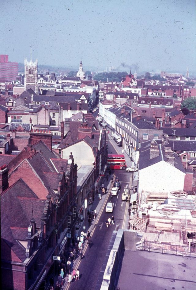
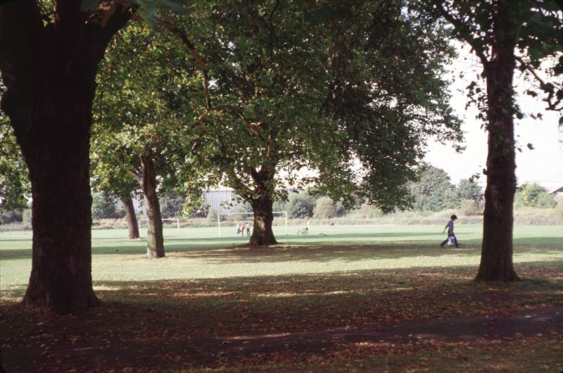
Ipswich street scenes in the 1970s
Ipswich is both on the Great Eastern Main Line railway and the A12 road, it is 66 miles (106 km) north-east of London, 54 miles (89 km) east-southeast of Cambridge, and 45 miles (72 km) south of Norwich. It is surrounded by two Areas of Outstanding Natural Beauty (AONB); Suffolk Coast and Heaths and Dedham Vale.
Ipswich was a settlement of great economic importance to England throughout its history, particularly in trade. The town’s historical dock, present-day Ipswich Waterfront, was known as the largest and most important dock in the kingdom.
Ipswich has become a tourist hotspot in the UK, it was voted as the 7th most desirable place to live and work in England by the Royal Mail in 2017. In 2007, Ipswich was awarded the cleanest town award, and in 2015, it was rated as the third happiest place to live in the UK.


Leave a Reply