This
post was originally published on
this site
The Western United States is the region comprising the westernmost states of the United States. As American settlement in the U.S. expanded westward, the meaning of the term the West changed. Before about 1800, the crest of the Appalachian Mountains was seen as the western frontier. The frontier moved westward and eventually the lands west of the Mississippi River were considered the West.
The U.S. Census Bureau’s definition of the 13 westernmost states includes the Rocky Mountains and the Great Basin to the Pacific Coast, and the mid-Pacific islands state, Hawaii. To the east of the Western United States is the Midwestern United States and the Southern United States, with Canada to the north, and Mexico to the south.
The West contains several major biomes, including arid and semi-arid plateaus and plains, particularly in the American Southwest; forested mountains, including three major ranges, the Sierra Nevada, the Cascades, and Rocky Mountains; the long coastal shoreline of the American Pacific Coast; and the rainforests of the Pacific Northwest.
Here is a set of amazing color photos from
dianp that show American West in 1947.
 |
| Arizona. El Tovar Hotel, Grand Canyon National Park, 1947 |
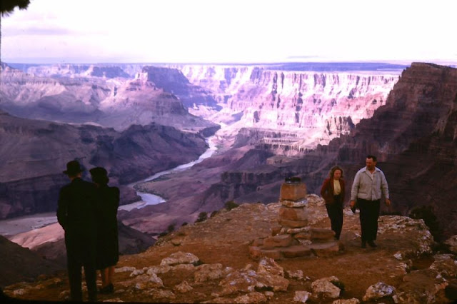 |
| Arizona. Grand Canyon National Park view from Watchtower, 1947 |
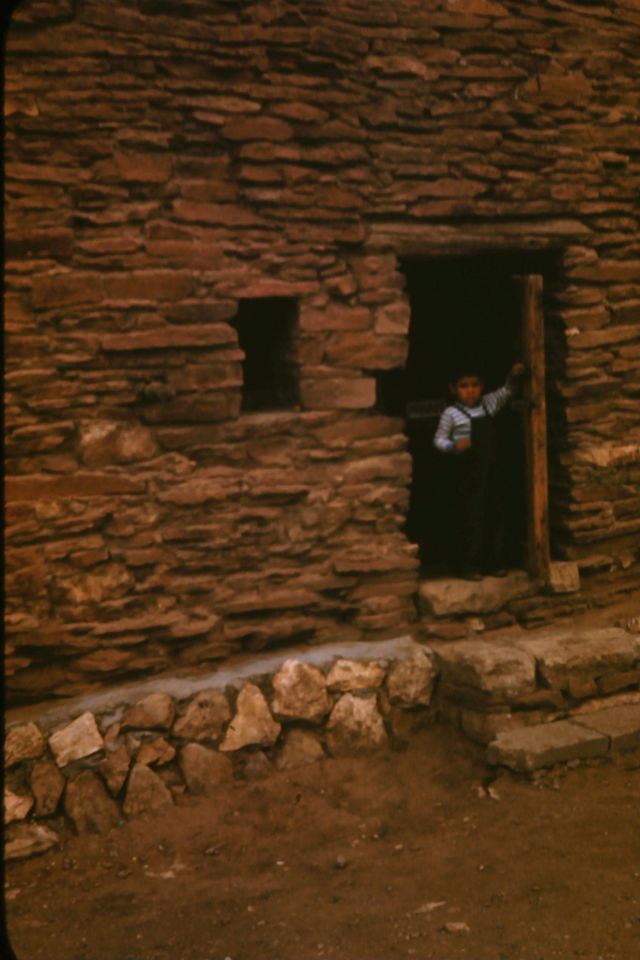 |
| Arizona. Hopi boy in doorway of Pueblo at El Tovar, Grand Canyon National Park, 1947 |
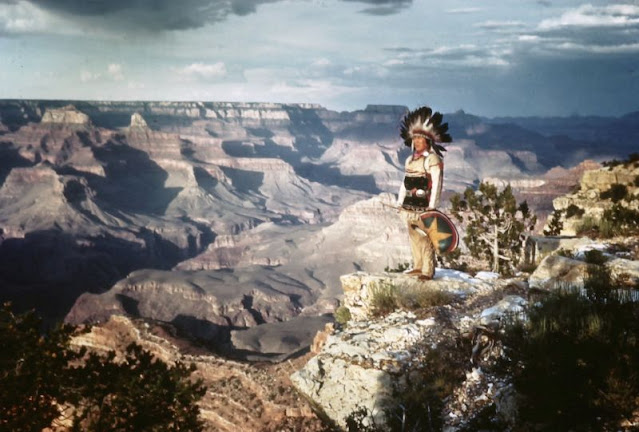 |
| Arizona. Hopi Indian and Canyon, Grand Canyon National Park, 1947 |
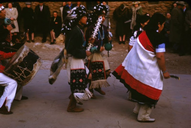 |
| Arizona. Hopi Indian dance at El Tovar, Grand Canyon National Park, 1947 |
See more »
Leave a Reply