Dublin is the capital and largest city in Ireland. It is in the province of Leinster on the east coast of Ireland, at the mouth of the River Liffey and bordered on the south by the Wicklow Mountains.
The city expanded rapidly from the 17th century and was briefly the second largest city in the British Empire before the Acts of Union in 1800. Following the partition of Ireland in 1922, Dublin became the capital of the Irish Free State, later renamed Ireland.
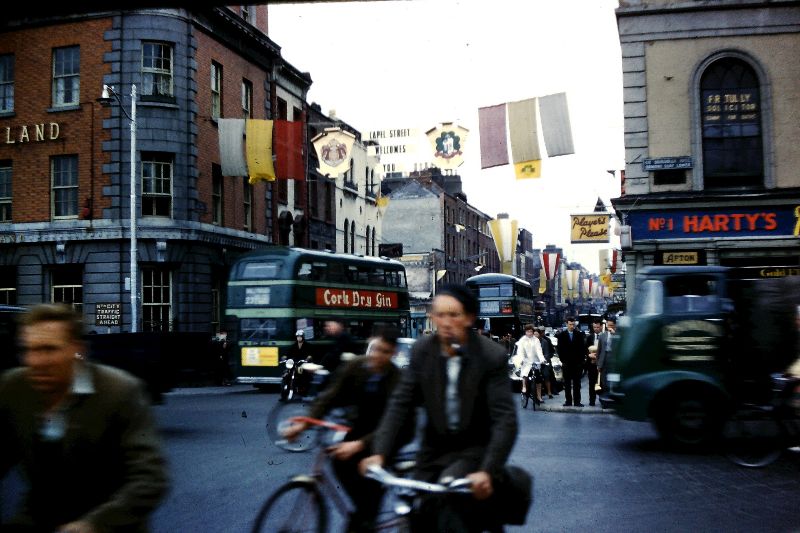
Take a look at these photos to see how Dublin was like from the 1960s.
O’Connell Street, circa 1960
Customs House with a ship berthed at the quay, circa 1960
Post Office Building, O’Connell Street, circa 1960
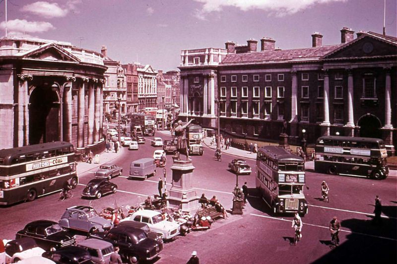
Trinity College and Bank of Ireland, Dublin, circa 1960


Leave a Reply