
Founded in 1847, Salt Lake City is the capital and the most populous municipality of the U.S. state of Utah. Salt Lake City is further situated within a larger metropolis known as the Salt Lake City–Ogden–Provo Combined Statistical Area. This region is a corridor of contiguous urban and suburban development stretched along an approximately 120-mile (190 km) segment of the Wasatch Front. It is one of only two major urban areas in the Great Basin (the other is Reno, Nevada).
Salt Lake City’s street grid system is based on the north-south east-west grid plan developed by early church leaders, with the Salt Lake Temple constructed at the city’s center.
Due to its proximity to the Great Salt Lake, the city was originally named “Great Salt Lake City”; however, the word “great” was dropped from the official name in 1868 by the 17th Utah Territorial Legislature.
Salt Lake City is also the industrial banking center of the United States.
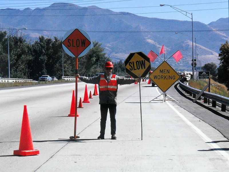
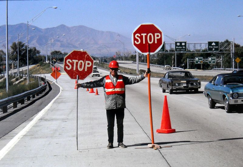
These photos from Garrett that captured street scenes of Salt Lake City in the 1970s.
 |
| Eastbound I-80 at 700 East, September 1970 |
 |
| Eastbound I-80 at 700 East, September 1970 |
 |
| 300 West (2nd West) at North Temple, April 1970 |
 |
| Looking west on I-80 at 700 East, September 1970 |
 |
| Looking west on I-80 at 700 East, September 1970 |
Leave a Reply